Length2.6 million m
214,500T-Rex body lengths
27.1 millionChess kings
240,561Garbage truck lengths
Fourth-longest river in Africa
The world's least useful encyclopedia
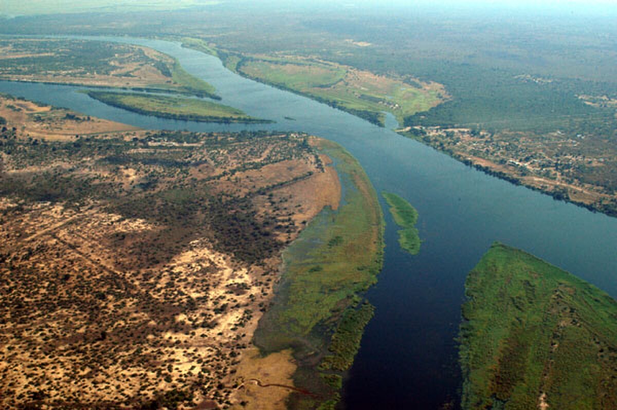
Photo from Wikimedia Commons
Africa's fourth-longest river, home to Victoria Falls/Rivers
The Zambezi flows 2,574 km from northwestern Zambia through Angola, Namibia, Botswana, Zimbabwe, and Mozambique to the Indian Ocean. It is best known for Victoria Falls (Mosi-oa-Tunya, 'The Smoke That Thunders'), where the river plunges 108 m over a 1,708 m wide basalt lip, creating the world's largest sheet of falling water. The Zambezi basin covers 1.39 million square kilometers and supports about 40 million people. Two major dams, Kariba and Cahora Bassa, generate hydroelectric power for the region.
Fourth-longest river in Africa
1.39 million square kilometers
Per second at the mouth
Maximum drop
Widest curtain of falling water
Northwestern Zambia