Approximate area1.3 trillion m2
20 trillionToilet seats
144 trillionPhone screens
190 trillionDollar bill areas
1.3 million km2 loosely defined
The world's least useful encyclopedia
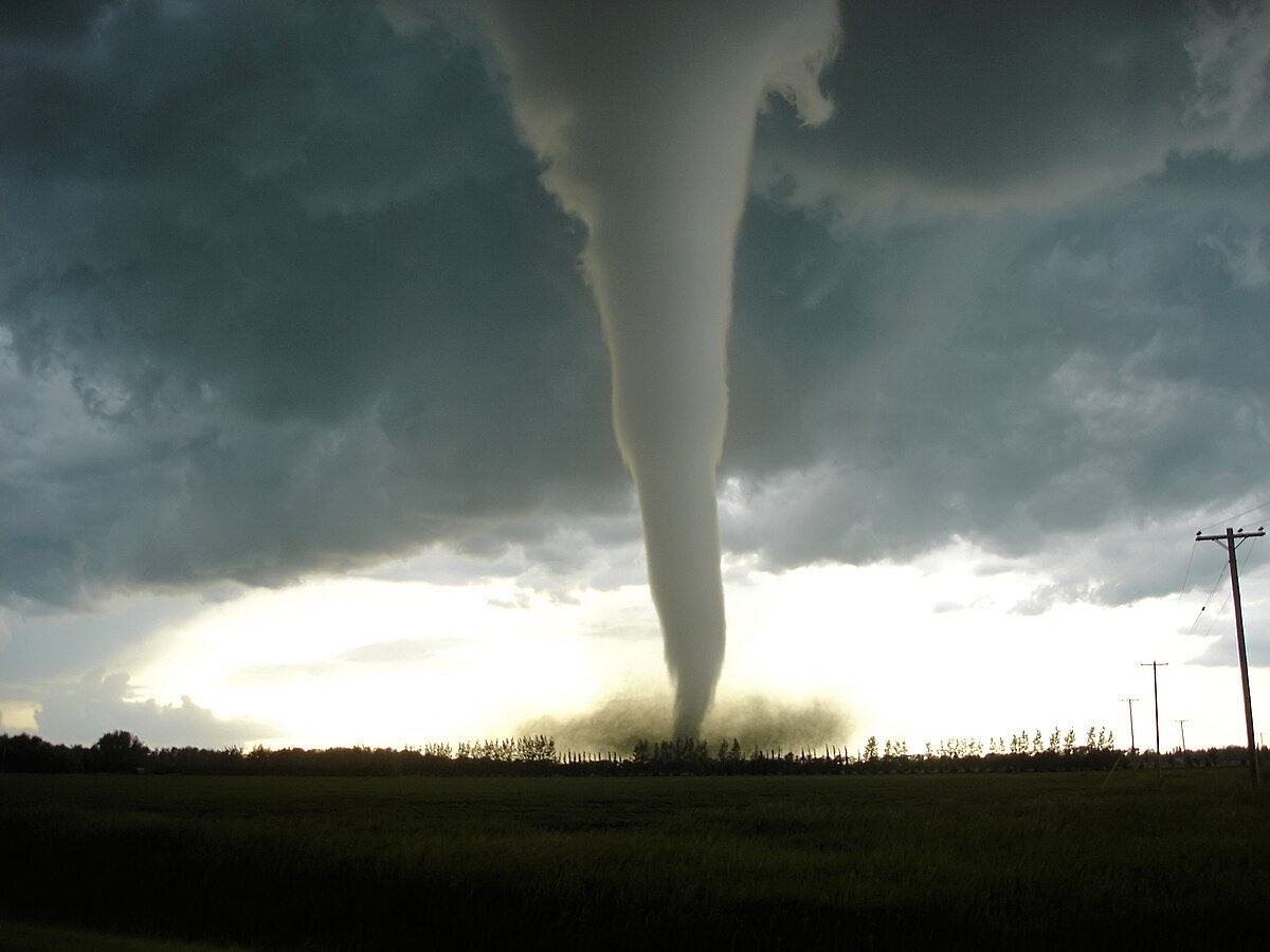
Photo from Wikimedia Commons
The broad swath of the US Great Plains most prone to tornadoes/Nature & Natural Wonders
Tornado Alley is an informal term for the region of the central United States with the highest frequency of tornadoes, stretching roughly from central Texas through Oklahoma, Kansas, Nebraska, and into South Dakota. The area covers approximately 1.3 million square kilometers. The US experiences about 1,200 tornadoes per year on average, more than any other country, with Tornado Alley accounting for a disproportionate share. The convergence of warm, moist Gulf air with cold, dry Canadian air and dry air from the Rockies creates ideal conditions for severe thunderstorms and tornadic supercells.
1.3 million km2 loosely defined
Texas to South Dakota
Central Great Plains width
Typical tornado track
Typical damage path
Over 320 km/h for the strongest tornadoes