Island area76 million m^2
60,800Olympic pool surfaces
47.5 millionTwin beds
The world's least useful encyclopedia
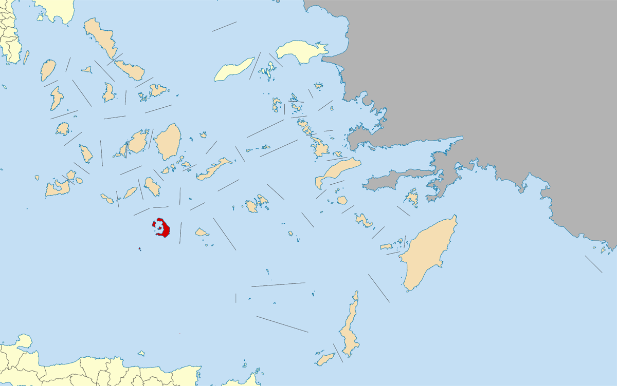
Photo from Wikimedia Commons
A crescent-shaped volcanic island with blue-domed churches/Landforms
Santorini (Thira) is a crescent-shaped island in the southern Aegean Sea, Greece, formed by one of the largest volcanic eruptions in recorded history: the Minoan eruption around 1620 BC, which destroyed the center of the island and may have contributed to the decline of the Minoan civilization. The caldera created by the eruption is 12 kilometers long and 7 kilometers wide, with cliffs rising 300 meters above sea level on the inner rim. The island's iconic whitewashed buildings with blue domes cluster along these dramatic cliffs. Some scholars have linked Santorini to the legend of Atlantis.
Circa 1620 BC