Height before eruption2,950 m
226,923Sugar cubes
1,017Condor wingspans
403Soccer goal widths
The world's least useful encyclopedia
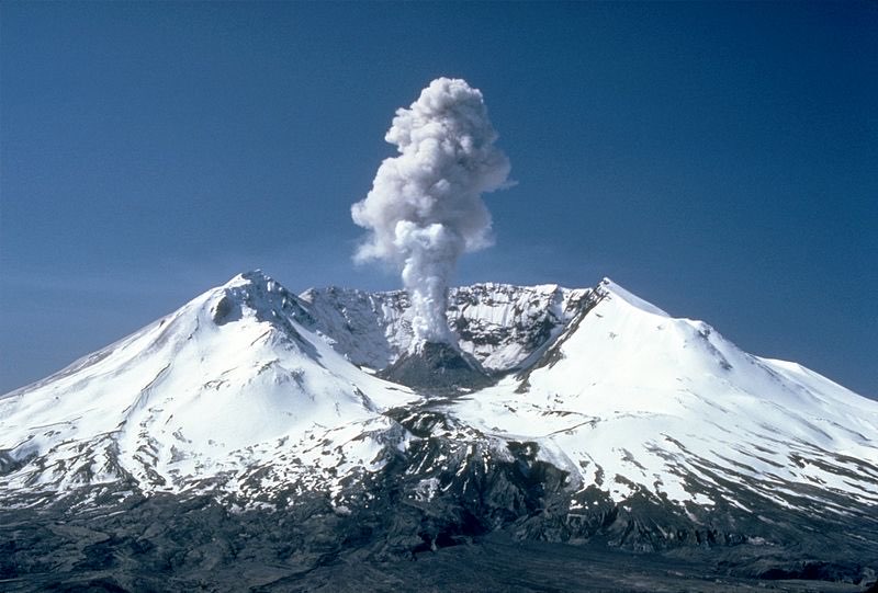
Photo from Wikimedia Commons
The eruption that reshaped a mountain in minutes/Volcanoes
On May 18, 1980, Mount St. Helens in Washington state erupted with a lateral blast that flattened 600 square kilometers of forest in moments. The eruption blew 400 meters off the summit and triggered the largest landslide in recorded history. The mountain has been slowly rebuilding its dome ever since, a reminder that volcanoes are never truly done.
Lost about 400 m of summit elevation
Equivalent to about 400 megatons of TNT -- 7 times the 1883 Krakatoa figure by some estimates
600 square km of forest flattened by the lateral blast
The blast wave traveled at roughly the speed of sound
Largest recorded landslide in history: 2.8 cubic km
Ash rose to about 24 km in the first minutes